British Topography and Local History

British Topography, Local History and Architecture
An Act to enlarge the Powers of an Act of Twenty-fourth Year of His late Majesty, for making the River Nar, navigable, from the Town and Port of King's Lynn to Westacre in the County of Norfolk, and for making the said Act more effectutal.
NORFOLK. ACT OF PARLIAMENT.
20pp.A detailed Act stating how commissionsers would be chosen and their powers, regulations for pas..
£15.00
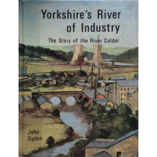
Yorkshire's River of Industry The Story of the River Calder.
OGDEN, JOHN
Illus., index; 140pp; small glue marks on endpapers...
£10.00
Country Moods and Tenses. A Non-Grammarians Chapbook.
OLIVIER, EDITH
Colour frontis., 76 photographic illus., index; viii+120pp.A wonderful evocation of country life in ..
£5.00
The Battle of Sedgemoor. Bridgwater Booklets No. 4.
PAGE, MAURICE
Photographic illus., maps, index; 75pp...
£9.00
The Victoria History of the County of Durham. Volume Two.
PAGE, W. (Ed.)
Plates, illus., maps, index; xii+429pp...
£30.00
The Victoria History of the County of Durham. Volume One.
PAGE, W. (Ed.)
Plates, illus., maps, index; xxiv+422pp.This volume includes sections on natural history, archaeolog..
£28.00
The English Lakes.
PALMER, W.T.
32 colour plates by A. HEATON COOPER, map, index; viii+192pp; some spotting...
£10.00
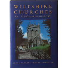
Wiltshire Churches an Illustrated History.
PARKER, DEREK & CHANDLER, JOHN
Black and white illus. index; 176pp...
£10.00
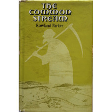
The Common Stream.
PARKER, ROWLAND
Illus. and maps, index; 283pp.The classic local history study of Foxton in Cambridgeshire...
£10.00

