British Topography and Local History

British Topography, Local History and Architecture
The Chester & Holyhead Railway. The Main Line up to 1880. Volume One.
BAUGHAN, P.E.
Maps, photographic illus., sketches, index; 324pp...
£10.00
The History of Colfe's Grammar School 1652-1972.
BEARDWOOD, H. (Ed.)
Black and white illus., index; viii+192pp...
£10.00
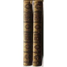
The Castles and Abbeys of England, from the National Records, Early Chronicles and other Standard Authors. 2 vols.
BEATTIE, W.
Frontispiece portrait, and 37 steel engraved plates,(some occasional spotting on surround), numerous..
£135.00
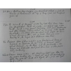
Diary of Jacob Bee of Durham. 1681-1707.
BEE, JACOB
MANUSCRIPT copied by H.M. Wood, in ink, on ruled paper, index; 113 leaves, written on one side only,..
£100.00
Gone with Regret. Recollections of the Great Western Railway 1922-1947.
BEHREND, G.
Photographic illus., index; 203pp...
£5.00
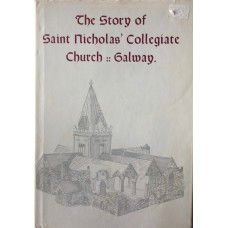
The Story of Saint Nicholas' Collegiate Church Galway.
BERRY, Rev. J. FLEETWOOD
Illus.; xx+107pp.This edition has additional illustrations by Derek Biddulph...
£15.00
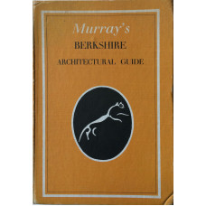
Murray's Berkshire Architectural Guide.
BETJEMAN, JOHN & PIPER, JOHN (Ed.)
Folding map, 171 photographic illus., some by John Piper, index; xii+163pp...
£10.00
Victorian Stations. Railway Stations in England & Wales 1830-1923.
BIDDLE, G.
48 photographic illus., text drawings by PETER FELLS; 256pp; marginal notes in pencil...
£10.00
Railway Architecture.
BINNEY, M. & PEARCE, D.
Photographic illus.; 256pp; some library stamps...
£5.00
The Birmingham ABC And Midland Counties Railway Time Tables Manufacturers', Merchants' and Trades Directory . . . Aug.-Sept. 1944.
BIRMINGHAM. JAMES UPTON (Publisher)
Time tables, adverts; 270pp; some corners creased.This directory with its adverts bears testament to..
£25.00
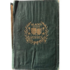
Black's Guide to Sussex and its Watering-Places.
BLACK'S.
Maps and plans, some folding, illus., index; xxii+171+112pp of adverts...
£10.00
Waterways of Northamptonshire.
BLAGROVE, D.
Photographic plates, some colour, maps and plans, index; viii+224pp...
£7.00
Die Wappen des schlesischen Adels. J. Siebmacher's Grosses Wappenbuch. Band 17.
BLAZEK, KONRAD
Plates of arms...
£55.00
