Maps

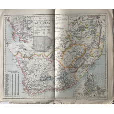
South Africa (scale 70 miles to the inch)
AFRICA. LETTS SON & CO LTD.
Colour map, from Letts's "Popular Atlas", showing gold and diamond fields, railways, and inset plans..
£15.00
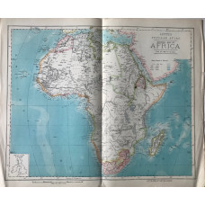
General Map of Africa (380 miles to the inch)
AFRICA. LETTS SON & CO LTD.
Colour map, from Letts's "Popular Atlas", showing boundaries.Shows how little of the continent was o..
£20.00
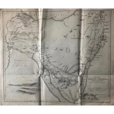
Map of Arabia Petrea Embracing the Peninsula of Mount Sinai.
ARABIA. HUGHES, WILLIAM
Vignette of Mounds of the ancient canal, scale 1.5in to 40 miles..
£25.00
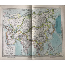
Central Map of Asia (scale 460 miles to the inch)
ASIA. LETTS SON & CO LTD.
Colour map, from Letts's "Popular Atlas",..
£15.00
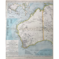
Statistical Map of Australia (West), Statistical Map of Australia (East), Statistical Map of New Zealand.
AUSTRALIA & NEW ZEALAND. LETTS SON & CO LTD.
Colour maps, from Letts's "Popular Atlas", showing boundaries...
£50.00
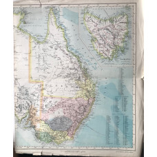
Statistical Map of Australia (East),with inset of Tasmania
AUSTRALIA. LETTS SON & CO LTD.
Colour maps, from Letts's "Popular Atlas", showing boundaries...
£15.00
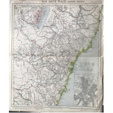
New South Wales (Eastern Portion) (scale 28 miles to the inch).
AUSTRALIA. LETTS SON & CO LTD.
Colour map, from Letts's "Popular Atlas", showing railways, hills, inset plan of Sydney..
£15.00
Bedfordshire.
BEDFORD. A. FULLARTON
Map engraved by Gray & Son, later hand-colouring, showing roads and hundreds, with vignette of Bedf..
£10.00
Bedfordshire.
BEDFORDSHIRE. JOSHUA ARCHER.
Map drawn and engraved by J. Archer, hand-coloured,..
£10.00
Map of Bedfordshire.
BEDFORDSHIRE. EMANUEL BOWEN.
Engraved County Map, above map, decorative cartouche with title "Road from London to Oakham", on rev..
£15.00
A New Map of Bedfordshire Divided into Hundreds Exhibiting Its Roads, Rivers, Parks, etc.
BEDFORDSHIRE. JOHN CARY.
Hand-coloured engraved County Map, compass rose, from Cary's New English Atlas,Attractive finely col..
£32.00
Bedfordshire Engraved from an Accurate Survey.
BEDFORDSHIRE. THOMAS KITCHIN.
Engraved County Map, with later hand-colouring. Title cartouche dated 1747, compass rose...
£20.00
Bedfordshire Engraved from an Accurate Survey.
BEDFORDSHIRE. THOMAS KITCHIN.
Engraved County Map, Title cartouche with surveyor's wheel,An attractive county map by Thomas Kitch..
£20.00
Map of Bedfordshire.
BEDFORDSHIRE. THOMAS MOULE [1784-1851]
Engraved map by Thomas Moule, vignettes of Dunstable Priory, and Woburn Abbey, three coats of arms, ..
£15.00
