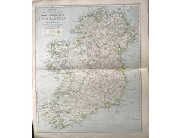
Colour map, from Letts's "Popular Atlas", showing railways, roads, and boundaries.
Colour map, from Letts's "Popular Atlas", showing railways, roads, and boundaries.
| Condition | central fold, splits on edges of fold, |
| Publication | 1881. 17.25in x 14in (44 x 36cm) |
- Product Code: RGW24926
- Availability: In Stock
-
£10.00

