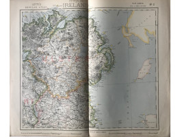
4 colour maps, from Letts's "Popular Atlas", showing railways, roads, and boundaries.
4 colour maps, from Letts's "Popular Atlas", showing railways, roads, and boundaries.
| Condition | central fold, sheet 3 with split on fold, crease on fold of whole Ireland map |
| Publication | 1881. Each 14in x 17.25in (36 x 44cm) Very good copies. |
- Product Code: RGW24887
- Availability: In Stock
-
£40.00

