Maps

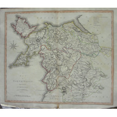
A Map of North Wales from the Best Authorities.
WALES. JOHN CARY.
Engraved County Map, later hand-colouring in outline, from New British Atlas,..
£15.00
Town Plan by Robert Dawson, streets, boundaries, rivers.
WALES. CRICCIETH.
Hand-coloured lithograph, Scale 2in to 1 mile, from Report of Municipal Corporation Boundaries,..
£10.00
Map of Warwickshire
WARWICKSHIRE. THOMAS MOULE [1784-1851]
Engraved map by Thomas Moule, vignettes of Warwick and Kenilworth Castles, and Shakespeare, coats of..
£15.00
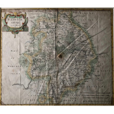
Warwickshire.
WARWICKSHIRE. ROBERT MORDEN
Engraved map, later hand-colouring, title cartouche, scales, from Camden's 'Britannia',..
£45.00
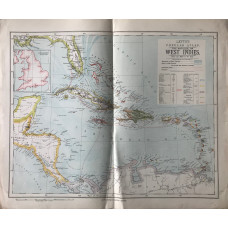
The Antilles, or the West Indies (140 miles to the inch)
WEST INDIES. LETTS SON & CO LTD.
Colour map, from Letts's "Popular Atlas", showing boundaries...
£15.00
Westmoreland drawn from the Best Authorities and Regulated by Astronomical Observations.
WESTMORLAND. THOMAS KITCHIN.
Engraved County Map, Title cartouche, arms of Appleby.An attractive county map by Thomas Kitchin [1..
£20.00
Westmorland.
WESTMORLAND. J.& C. WALKER
Map drawn by R. Creighton and engraved by J. & C. Walker, later hand-colouring, showing roads, Publ..
£15.00
Map of Westmorland.
WESTMORLAND. EMANUEL BOWEN.
Engraved County Map, above map, decorative cartouche with title "Road from York to Whitby", on rever..
£15.00
Worcestershire. Map.
WORCESTERSHIRE. CREIGHTON. LEWIS.
Map drawn by R. Creighton, hand-coloured to show Unions, engraved by T. Starling, from Lewis's Topog..
£10.00
Worcestershire Map.
WORCESTERSHIRE. A. FULLARTON
Engraved map, showing roads and hundreds, with vignette of Worcester Cathedral,..
£10.00
World. Western Hemisphere, and, Eastern Hemisphere, on two sheets.
WORLD. LETTS SON & CO LTD.
Colour map, from Letts's "Popular Atlas", shows journey of Challenger voyage..
£40.00
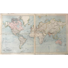
The World on Mercator's Projection. on two sheets.
WORLD. LETTS SON & CO LTD.
Colour map, from Letts's "Popular Atlas",..
£40.00
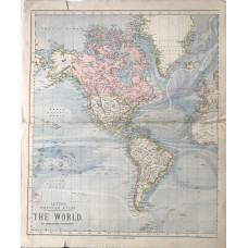
The World on Mercator's Projection. The Americas sheet.
WORLD. LETTS SON & CO LTD.
Colour map, from Letts's "Popular Atlas",..
£15.00
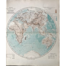
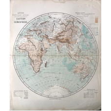
World. Eastern Hemisphere.
WORLD. LETTS SON & CO LTD.
Colour map, from Letts's "Popular Atlas", shows journey of Challenger voyage..
£15.00
