Maps

Map of Huntingdonshire.
HUNTINGDONSHIRE. EMANUEL BOWEN.
Engraved County Map, above map, decorative cartouche with title "Road from Huntingdon to Ipswich", o..
£15.00
A New Map of Huntingdonshire Divided into Hundreds Exhibiting Its Roads, Rivers, Parks, etc.
HUNTINGDONSHIRE. JOHN CARY.
Hand-coloured engraved County Map, compass rose, from Cary's New English Atlas,Attractive finely col..
£32.00
Huntingdonshire. Map.
HUNTINGDONSHIRE. CREIGHTON. LEWIS.
Map drawn by R. Creighton, engraved by T. Starling, from Lewis's Topographical Dictionary,..
£10.00
Huntingdonshire.
HUNTINGDONSHIRE. A. FULLARTON
Engraved map, showing rivers, roads and hundrends,..
£10.00
Map. Huntingdonshire.
HUNTINGDONSHIRE. THOMAS KITCHIN.
Engraved County Map, Title cartouche, arms of Northampton.An attractive county map by Thomas Kitchin..
£20.00
Huntingdonshire Map.
HUNTINGDONSHIRE. ROBERT MORDEN
Engraved Map, title cartouche, from Camden's "Britannia",..
£30.00
Map of Huntingdonshire.
HUNTINGDONSHIRE. THOMAS MOULE [1784-1851]
Engraved map by Thomas Moule, vignettes of Hinchingbrook, Brampton Park and cattle, 4 coats of arms,..
£15.00
Huntingdonshire. Map.
HUNTINGDONSHIRE. JAMES PIGOT.
Engraved County Map, hand-coloured in outline, vignette of Godmanchester Church, from Pigot & Co's "..
£30.00
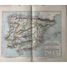
Statistical Map of the Empires of Spain & Portugal. (55 miles to the inch)
IBERIA. LETTS SON & CO LTD.
Colour map, from Letts's "Popular Atlas", showing railways and boundaries...
£5.00
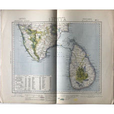
Statistical & General Map of India on 12 sheets, (35 miles to the inch); with the General Map of India (scale 135 miles to an inch)
INDIA. LETTS SON & CO LTD.
13 colour maps, from Letts's "Popular Atlas", showing railways, roads, canals, hills, boundaries and..
£100.00
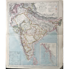
General Map of India (scale 135 miles to an inch)
INDIA. LETTS SON & CO LTD.
Colour map, from Letts's "Popular Atlas", showing railways, boundaries and telegraph lines...
£15.00
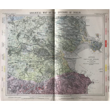
Geological Map of the Environs of Dublin (scale 3/4 inches to the mile)
IRELAND. LETTS SON & CO LTD.
Colour map, with mile circles, from Letts's "Popular Atlas",..
£25.00
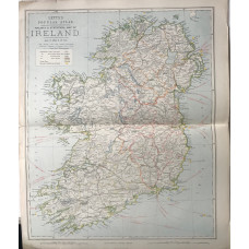
Statistical Map of Ireland (scale 16 miles to an inch)
IRELAND. LETTS SON & CO LTD.
Colour map, from Letts's "Popular Atlas", showing railways, roads, and boundaries...
£10.00
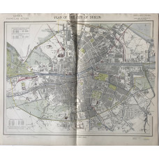
Plan of the City of Dublin (scale 4 inches to the mile)
IRELAND. LETTS SON & CO LTD.
Colour plan, from Letts's "Popular Atlas", showing railways, roads, docks and quays.,A pleasing deta..
£40.00
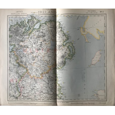
Statistical Map of Ireland on 4 sheets, (12 miles to the inch); with Railway & Statistical Map of Ireland (scale 16 miles to an inch)
IRELAND. LETTS SON & CO LTD.
4 colour maps, from Letts's "Popular Atlas", showing railways, roads, and boundaries...
£40.00
