Maps

Map. Northamptonshire.
NORTHAMPTONSHIRE. JOSHUA ARCHER.
Map drawn and engraved by J. Archer, from Dugdale's England and Wales Delineated,..
£10.00
A Map of Northamptonshire from the Best Authorities.
NORTHAMPTONSHIRE. CARY, JOHN
Engraved map by J. Cary, after E. Noble, compass rose, from Camden's Britannia,..
£40.00
Map. Northamptonshire drawn from the Best Authorities.
NORTHAMPTONSHIRE. THOMAS KITCHIN.
Engraved County Map, Title cartouche, arms of Northampton.An attractive county map by Thomas Kitchin..
£20.00
Northumberland. Map.
NORTHUMBERLAND. A. FULLARTON
Engraved map, showing roads and hundreds, with vignette of Alnwick Castle,..
£10.00
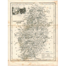
Nottinghamshire.
NOTTINGHAM. A. FULLARTON
Engraved map, showing rivers, roads and hundreds, with vignette of Newstead Abbey, engraved by R. S..
£10.00
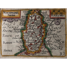
Nottinghamshire. numbered 32.
NOTTINGHAMSHIRE. KEERE, P. VAN DEN
Hand-coloured engraved map, title and scale with architectonic decoration, text on reverse, from "En..
£50.00
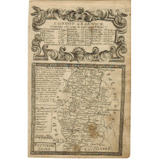
Map of Nottinghamshire.
NOTTINGHAMSHIRE. EMANUEL BOWEN.
Engraved County Map, above map, decorative cartouche with title "Road from London to Barwick", on re..
£15.00
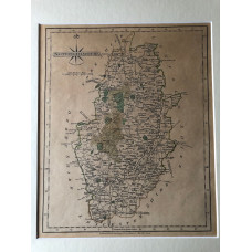
Nottinghamshire.
NOTTINGHAMSHIRE. CARY, JOHN
Map engraved by J. Cary, partly hand-coloured,..
£20.00
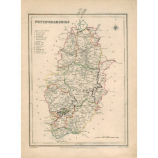
Map. Nottinghamshire.
NOTTINGHAMSHIRE. J. & C. WALKER. LEWIS.
Map drawn by R. Creighton, engraved by J. & C. Walker, hand-coloured in outline, Unions marked, from..
£10.00
France 57A. Avesnes and surrounding Area.
ORDNANCE SURVEY. FIRST WORLD WAR.
Colour linen-backed folding map, over printed with Enemy Organisation, and eastings and northings, S..
£20.00
Aldershot. Sheet 285.
ORDNANCE SURVEY. Third Edition. One Inch Scale.
Colour linen-backed folding map...
£10.00
Shoeburyness. Sheet 258 (Part of Sheet 259).
ORDNANCE SURVEY. Third Edition. One Inch Scale.
Colour linen-backed folding map, brown stain on one fold...
£10.00
N.E. London and Epping Forest. Sheet 108. Large Sheet.
ORDNANCE SURVEY. Third Edition. One Inch Scale.
Colour linen-backed folding map...
£15.00
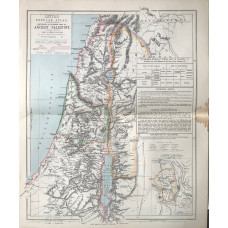
Historical & Physical Map of Ancient Palestine (12 miles to the inch)
PALESTINE. LETTS SON & CO LTD.
Colour map, from Letts's "Popular Atlas", showing boundaries...
£15.00
